Map-making resources from joint workshop to support health service delivery in Mozambique
In collaboration with Mozambique’s ministry of health (MoH), Expanded Programme on Immunization (EPI), and National Agency for Spatial Development (ADE), GRID3 and ICAP convened a map template transfer workshop in Maputo between 18 and 20 April 2023.
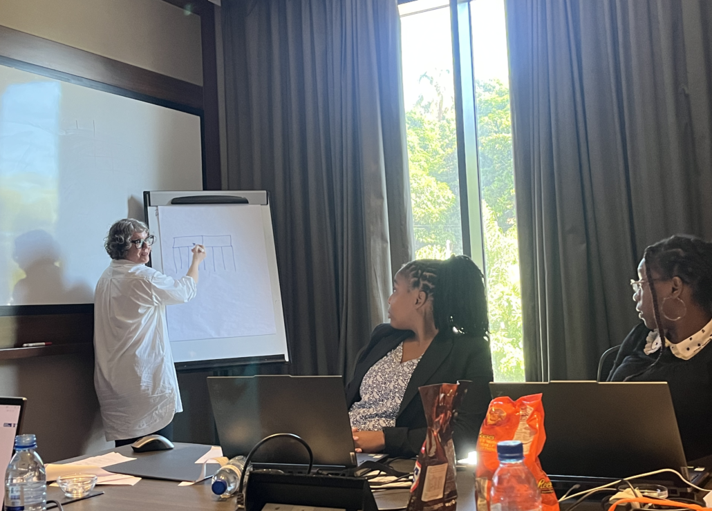
At the workshop, ADE’s Geographic Information Systems (GIS) analysts received training from GRID3 on generating up-to-date district- and subdistrict-level maps based on a GRID3 cartographic template and data collected and generated through the Reach Every District (RED) microplanning initiative. The RED initiative focuses on routine immunisation and is led by UNICEF in collaboration with the MoH, ADE, the Clinton Health Access Initiative (CHAI), and the Health GeoLab (HGL). It is also supported by Gavi in Mozambique. UNICEF, CHAI, and the HGL also supported workshop coordination efforts.
These maps will play an integral role in the health campaign microplanning process by ensuring health workers consistently have accurate information on the locations of people, settlements, boundaries, health facilities, and vaccination sites. Health workers in Mozambique can use these data to efficiently allocate personnel and important resources such as vaccines and funding.
The workshop follows one held late last year. During the November 2022 workshop, microplanning maps, generated by GRID3, were initially presented to MoH, EPI, and the district health team in Mocuba district to demonstrate how these types of resources could potentially support health campaigns in the country.
Practice makes perfect
Over the span of three days, ADE, CHAI, GRID3, ICAP, and UNICEF discussed and implemented a workflow that can be used to produce microplanning maps. Discussions focused on preprocessing methods, designing and reusing maps for different geographic areas and scales, best practices for exporting and printing files, and quality control. Participants also used Python to clean and cross-check health facility data and other points of interest. Interactive tutorials were followed by a map feedback session that used a printed sample of Guro district maps to further refine the maps’ style and improve their legibility.
A GIS analyst at ADE, saw ways in which they could transfer map-related topics from the training into their current role:
“I focus a lot on data organization and it was great to see it is one of the topics I learned during training. I also found the definition of objects on the maps to be also very interesting. I learned tools that support the same process. Moving forward, I am interested in programming in Python using GIS. Being able to learn this skill will ensure I am able to use the GIS system database for data collection and to perform spatial analyses. In turn, I can then support institutions in improving how they plan development in Mozambique.”
ADE plans to begin producing microplanning maps using the new template in collaboration with the MoH, EPI, UNICEF, and the RED technical working group partners.
