OUR IMPACT

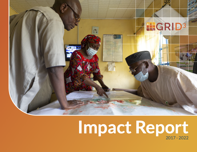
Guided by the belief that data innovations can provide equitable and effective solutions to global challenges, GRID3 works with governments in sub-Saharan Africa to unlock the power of geospatial data to improve the outcomes of development interventions.

User Voices

Because of the [GRID3] maps, we now know how to strategically place vaccination posts so that we can maximize the utilization of our services during [COVID-19] vaccinations.


Samuel Jiya
Director, Disease Control and Immunisation, Niger State PHCDA, Nigeria

Our partnership with GRID3 and Fab Inc. allowed us to understand the extent of school coverage in Sierra Leone (and where there were gaps in services) after rolling out the Free Quality School Education initiative in 2018.


David Sengeh,
Minister of Basic and Senior Secondary Education and Chief Innovation Officer, Government of Sierra Leone

Prior to participating in the Training of Trainers (ToT) program [in Zambia], the maps our council had were not accurate. I used GIS techniques and GRID3 data provided through the program to produce/update our maps, which helped us to identify service gaps in Serenje District.


Soft Tembo
Urban and Regional Planner and Town Planner/GIS Officer, Serenje Town Council, Zambia

The GRID3 maps were useful in our preparation and planning [of our malaria bednet distribution campaign] because they show all the facilities and the structures in the area. Using this information, we were able to select where to put up depots and wash bays that are optimal for operational IRS activities and determine the number of resources, such as spray operators and chemicals, needed at each type of location.


Beauty M.S. Pallu
Malaria Elimination Officer, Chongwe District, Zambia

With the support of [GRID3’s] GIS tools and skills training, we were able to determine in real-time the cyclone-affected areas and intensity levels, as well as extract key disaster information about affected points of interest such as hospitals and schools, cropland, flooding, and more. Without this information, the Government of Puntland would not have been able to anticipate and rapidly make targeted responses to the damage caused by Gati.


Abdifatah Mohamed
Director at Puntland Statistics Department, Somalia

Our results

  
 maps produced 
We produced and delivered geo-enabled maps to various partners to support health microplanning efforts.
  
 individuals trained 
We trained individuals across 310 institutions on geospatial data and methodologies.
  
 datasets produced 
Our core geospatial datasets are operational and freely accessible for visualisation and download through various platforms.
  
+ M
 people made visible on the map 
Our population datasets provide a wide range of information including size, age, density and location.
  
M
 settlements mapped 
By creating improved, comprehensive settlement datasets, we facilitate a better understanding of where people live.
  
 points of interest mapped 
We map key infrastructure for development interventions including health facilities, schools, religious centres, and more.

Impact report

REPORT
GRID3 Impact Report 2017-2022

This impact report provides an overview of GRID3’s activities and successes during the program’s first phase, between 2017 and 2022. It highlights key milestones, achievements, and selected use cases from the Democratic Republic of the Congo, Nigeria, and Zambia. The […]

Data Stories

Data Stories
Powering non-polio supplementary immunisation activities in Nigeria
Data Stories
Supporting COVID-19 vaccination interventions: spotlight on Nigeria
Data Stories
Piloting the Geospatial Microplanning Toolkit in Nigeria
Data Stories
Data-driven strategies improve COVID-19 vaccinations in Zambia