Infrastructure mapping
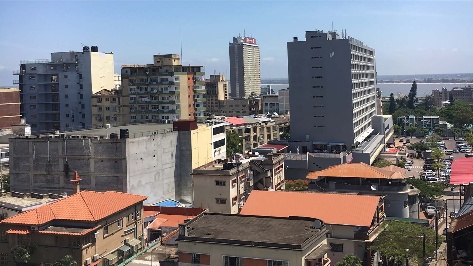
Knowing where critical infrastructure is ensures that governments and humanitarian organisations are able to plan effectively and streamline the delivery of goods and services to people. Often referred to as points of interest, critical infrastructure includes sector-specific buildings and landmarks such as health facilities, schools, warehouses, or wells.
“Such spatial #data integration is possible for comprehensive assessment of needs, determining locations of new structures & monitoring results effectively.”
Hasim Engin, GIS Specialist, CIESIN

Why it matters
Meeting development needs for all regions and all people requires that development infrastructure and services be located in the same spatial data framework as population, settlements, and administrative boundaries. Such spatial data integration makes possible comprehensive assessments of needs, the appropriate location of new interventions, and effective monitoring of results.
Our solution
GRID3 works with local stakeholders and data collectors to update, collect, produce, and build capacity for production and management of geospatial data on development infrastructure. The methodology for producing comprehensive and accurate infrastructure maps is contingent on in-country context and needs.
A typical workflow:

