Harmonising District Boundaries in Zambia
In Zambia, the Office of the Surveyor General (OSG) and Ministry of Local Government and Housing (MLGH) are responsible for designating national, provincial, and district boundaries, while the Electoral Commission of Zambia (ECZ) is responsible for mapping wards and constituencies countrywide. Given that Zambia’s administrative boundaries are created by different institutions at different mapping scales with little coordination, it has historically been difficult to align boundaries in the country. This challenge has only grown since the 2010 census after which Zambia created a new province (Muchinga) as well as many new districts, constituencies, and wards.
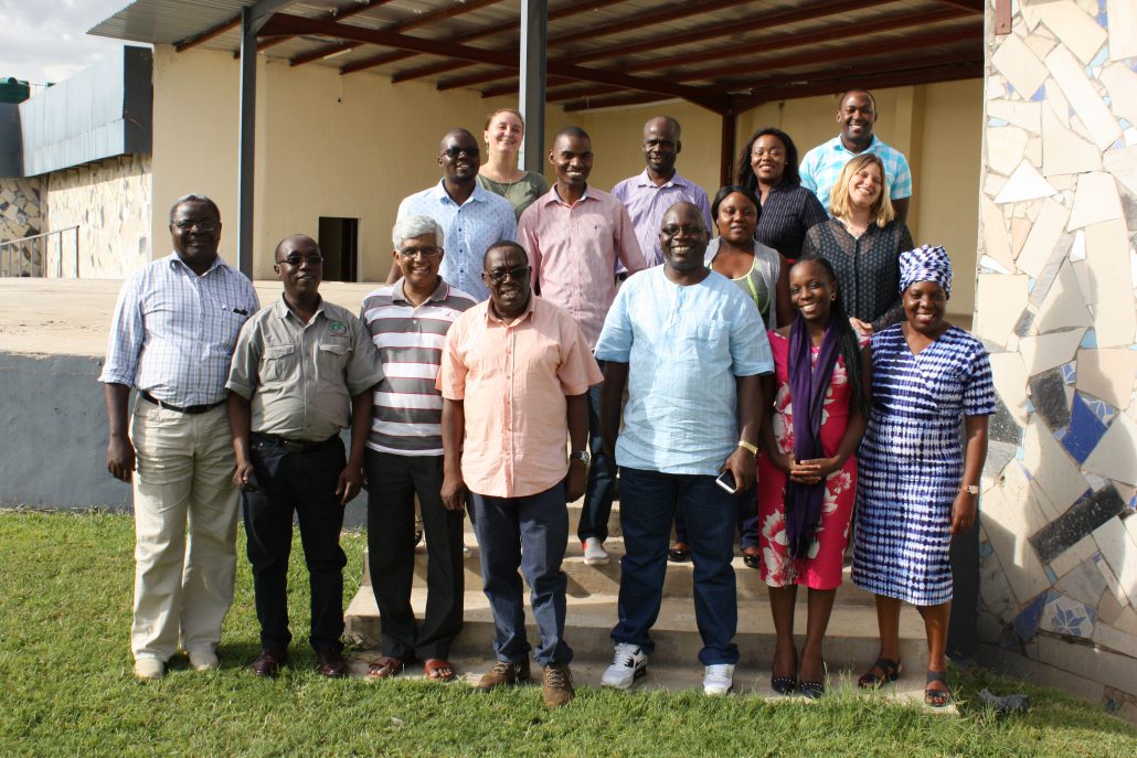
In May 2018, the United Nations Population Fund (UNFPA) Country Office, in coordination with the OSG, Zambia Statistics Agency (ZamStats) Ministry of National Development Planning-Population (MNDP), Development Department, and the University of Zambia (UNZA), proposed that GRID3 could support the harmonisation of administrative boundaries and codes. Following this meeting came a technical mission in November 2018. During this mission, the GRID3 Zambia team met with the country’s boundary data custodians, including ECZ, OSG, and ZamStats, who detailed how a lack of harmonised boundaries had limited their ability to effectively use and share boundary data for efficient planning and decision-making. In response, the team organised a workshop held in April 2019 to facilitate the boundary harmonisation process among key stakeholders.
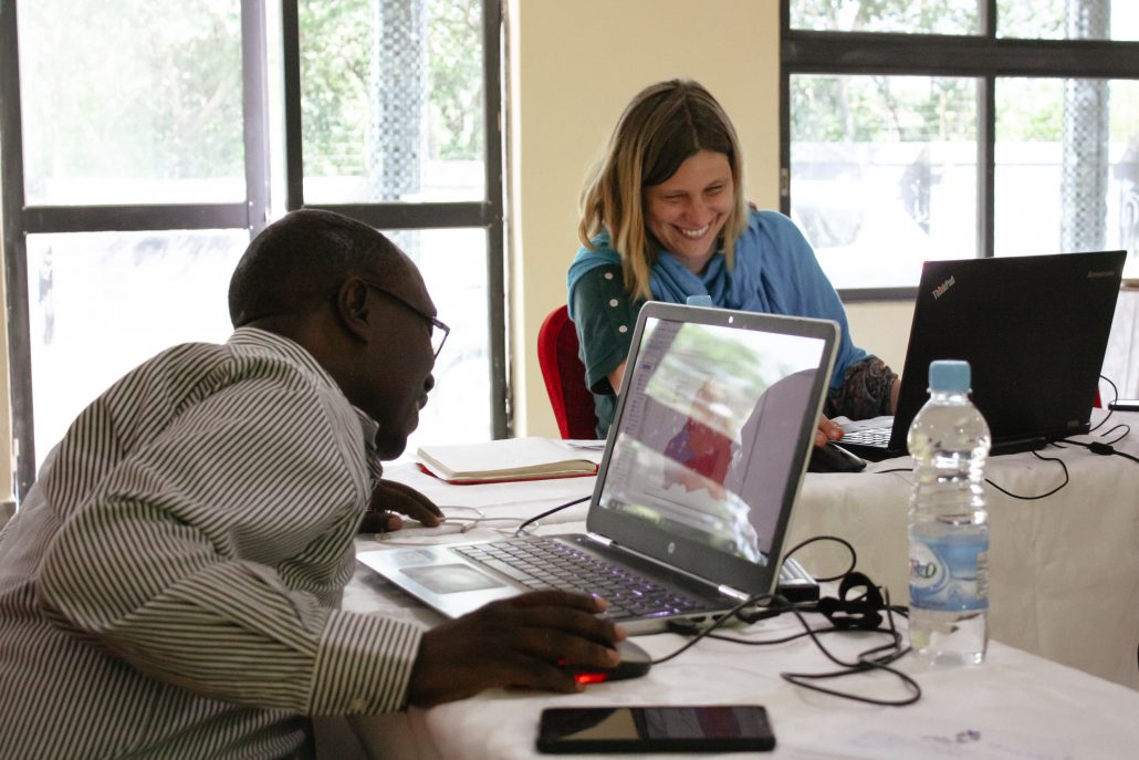
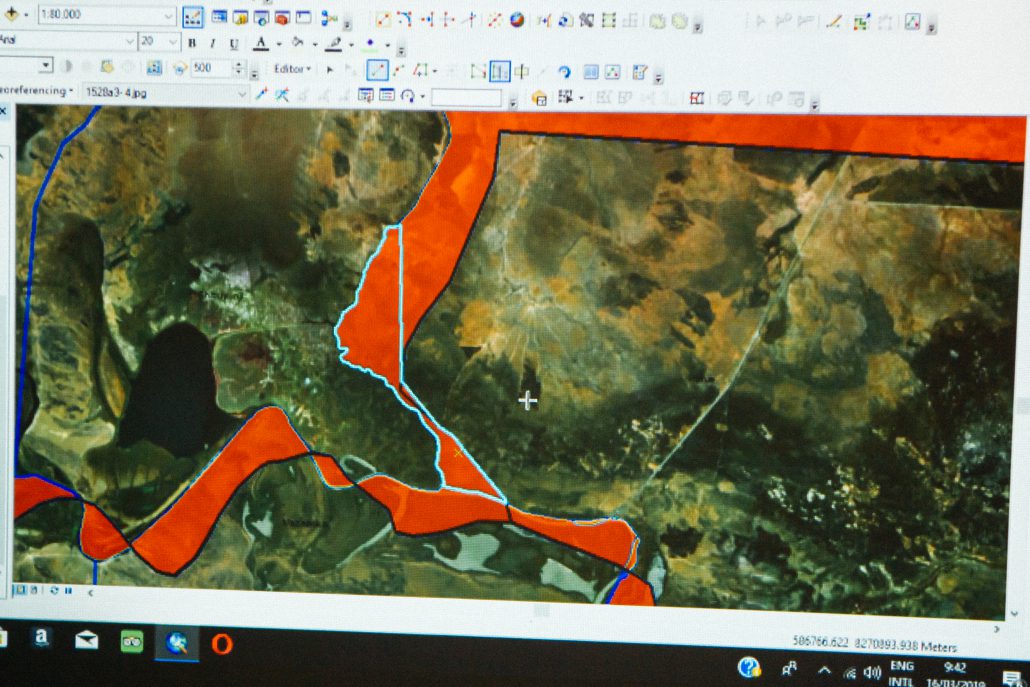
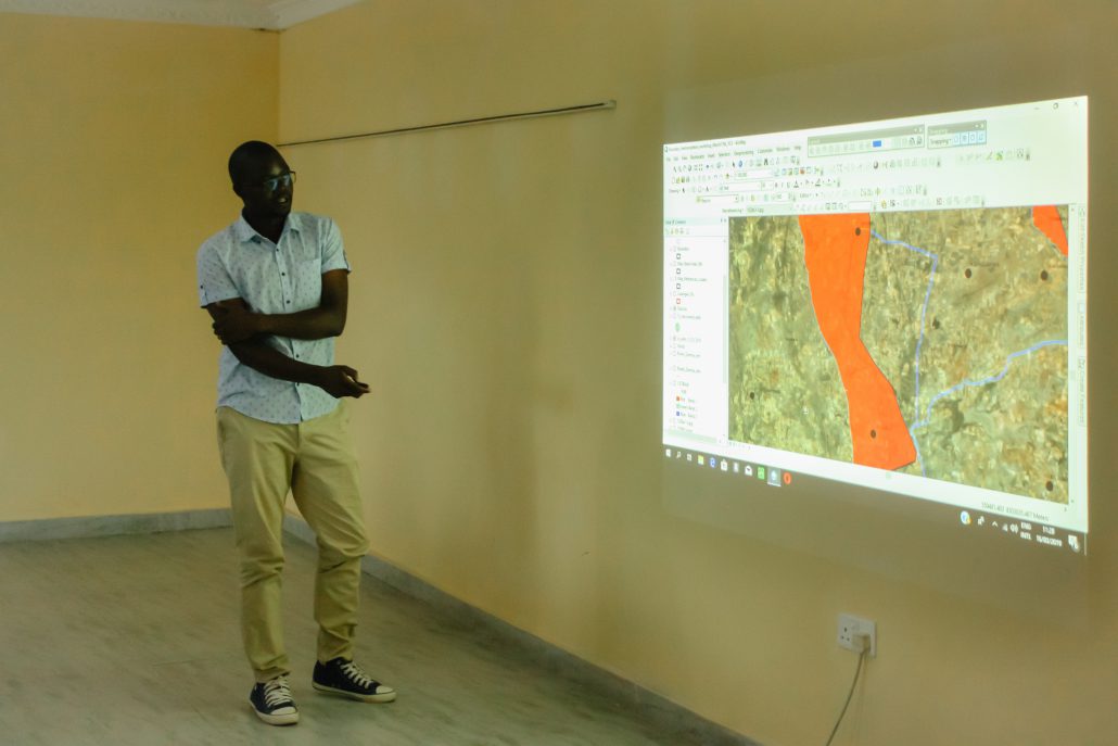
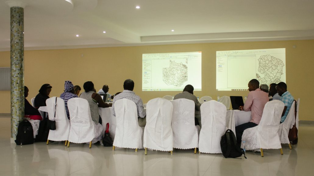
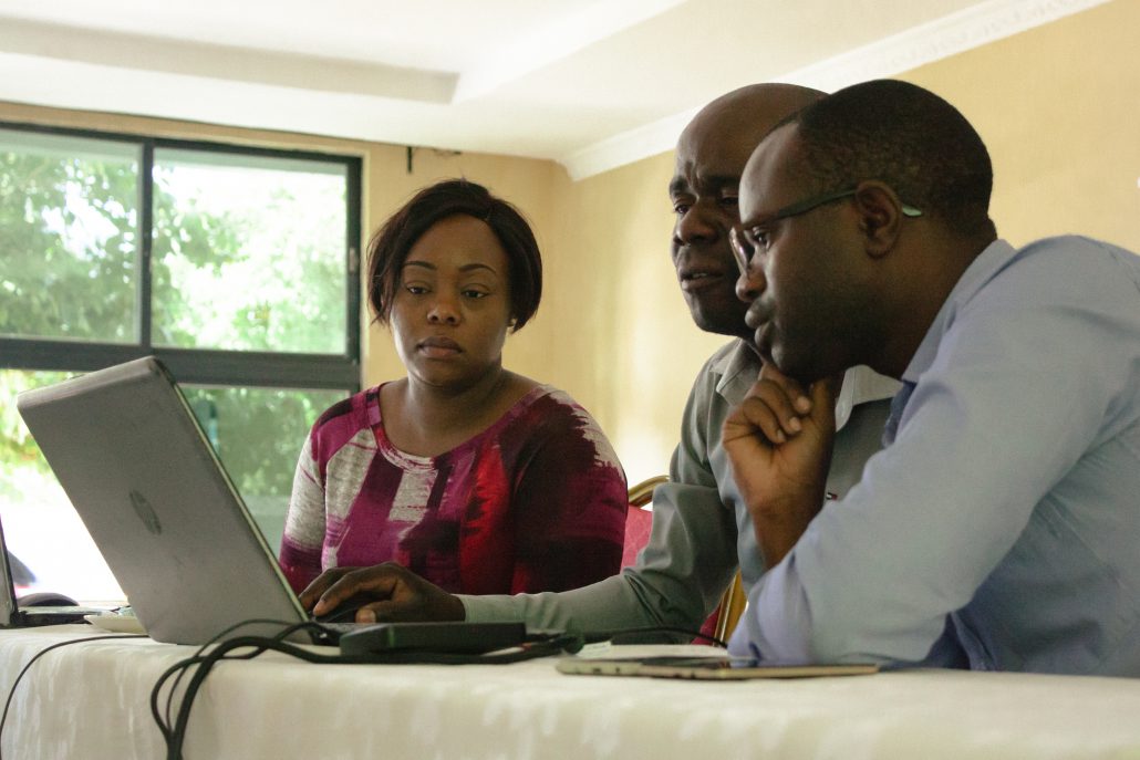
To prepare for the workshop, the GRID3 Zambia team developed map documents and a workflow for updating misaligned boundaries. They also conducted a boundary analysis for the pre-workshop assessment that utilised the latest district and ward boundaries from ZamStats and OSG (as well as 116 narratives describing district boundaries delineations). Once workshop materials were in order, the workshop was held. Participants were divided into groups in which at least one participant from each organisation was present. Each group was given one map document to edit boundaries. A GIS technician from each group connected their laptop to a projector so that all participants could observe and discuss the edits being made. The map document included a layer of ward and district boundaries, polygons representing gaps and overlaps, an imagery basemap from Esri, topographic maps at a scale of 1:50,000 and 1:250,000, cadastral maps, as well as geospatial files representing rivers, roads, towns, and beacons. In each group, a representative from MLGH read the district narrative while a GIS technician panned around the district polygon using topographic maps and other reference layers. Each boundary misalignment was discussed as a group, and the edits were made only after the boundary custodians reached an agreement. In order to align district boundaries to topographic features as described in the narrative, the gap or overlap polygon was either merged to the correct unit or retraced. Imagery was turned on when the boundary needed to be aligned, and switched on and off to make sure the revised boundary was consistent with both topographic maps and the natural features on the ground.
By the end of the workshop, the GRID3 Zambia team facilitated coordination among all government agencies responsible for boundaries in Zambia, ensuring the production of government-endorsed administrative boundaries. District datasets were officially shared in November 2019 by the OSG with the ECZ, ZamStats, MLGH, Disaster Management and Mitigation Unit (DMMU), Forestry Department within MLNR, Department of National Parks and Wildlife (DNPW), the Ministry of Health (MoH), the Ministry of Development and Planning (MNDP), Zambia Electricity Supply Corporation Limited (ZESCO), Rural Electrification Authority (REA), National Remote Sensing Center (NRSC), as well as MLGH’s provincial and district offices. The harmonised boundaries are now used by government ministries as the official boundary set to resolve land disputes.
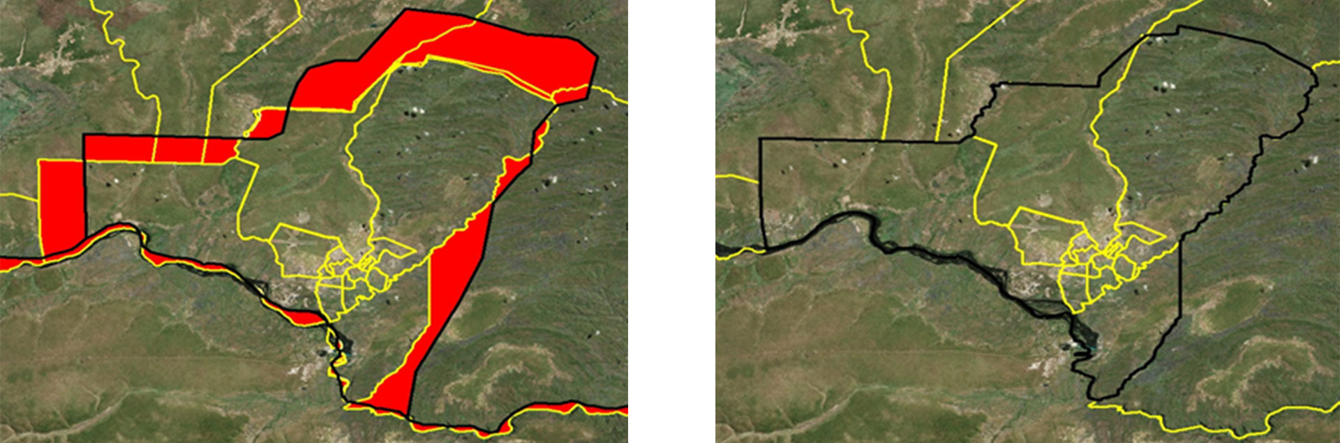
Livingstone District before (left) and after (right) boundary harmonisation. Red areas represent gaps and overlaps
Additionally, GRID3 Zambia has developed an ArcGIS model builder tool that automates the topology analysis to identify areas of boundary misalignments. The tool will be presented and transferred to the custodians of administrative boundaries to ensure capacity for the independent validation of district and ward shapefiles. In the next few months, GRID3 will be coordinating with the boundaries custodians to establish a set of topology rules, specifying key spatial relationships that are important to maintain when edits are being made to either wards or districts. The specified topology rules in the file geodatabase will help enable boundaries custodians to maintain a harmonised set of administrative boundaries.
