Updating health district boundaries in Burkina Faso
An updated district sanitaire boundaries dataset is now available for Burkina Faso. This dataset was created by the Ministère de la Santé et de l’Hygiène Publique (MSHP) in collaboration with GRID3 .The district sanitaire, or health district, is the basic operational unit for the MSHP and a key geospatial dataset for planning health campaigns and delivering health services such as routine immunisations and COVID-19 vaccinations.
This release comes after a validation workshop organised by MSHP and GRID3 in Koudougou in December 2022. Workshop participants included MSHP officials (from the national, regional, and district sanitaire levels) and technical partners GRID3, Bluesquare, the Clinton Health Access Initiative (CHAI), and Terre des Hommes.
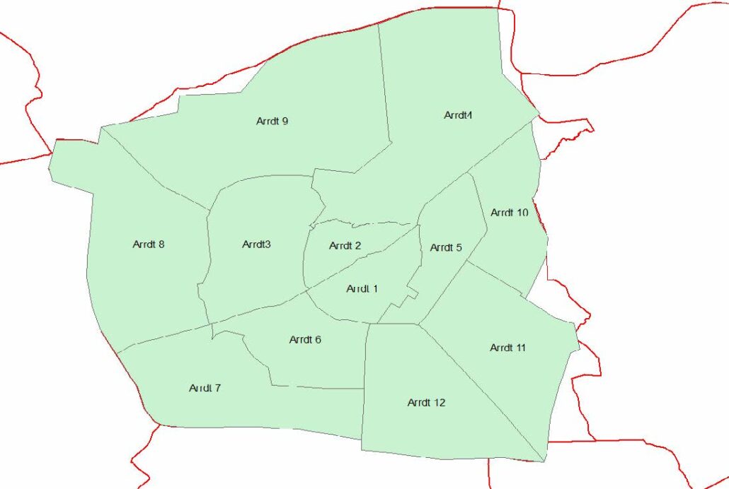
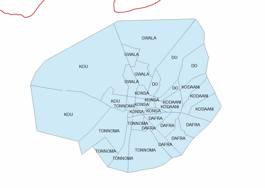
Administrative boundaries for Ouagadougou (left) and Bobo-Dioulasso (right)
Boundary mapping
The district sanitaire boundaries dataset was created by aggregating the most recent subnational commune administrative boundaries from the Institut Géographique du Burkina’s (the national mapping agency of Burkina Faso) Base Nationale de Données Topographiques 2012 database and city administrative districts for Ouagadougou and Bobo-Dioulasso. Prior to this release, the existing district sanitaire boundaries had misalignments; health district information did not nest within official subnational administrative boundaries. This misalignment made it difficult to understand the spatial extent of service coverage for a health facility and plan campaigns.
Once the dataset was created, it was validated through an inclusive and iterative process at the December 2022 workshop. GRID3 presented the technical methods used to aggregate and update the boundaries and MSHP district sanitaire data managers, regional data managers, and national-level staff reviewed and validated the dataset based on their extensive knowledge of the areas. After presentations, discussions followed on creating metadata and a plan for distribution for the new boundary dataset.
The release of the District Sanitaire boundaries dataset and validation workshop are part of GRID3’s broader portfolio in Burkina Faso to increase the use of geospatial data in the country’s development efforts. Last year, GRID3 supported the MSHP with the creation of Geographic Information System (GIS)-based maps to support COVID-19 vaccination planning in Burkina Faso. To support data managers using these maps, GRID3 hosted a training on GIS, field data collection, map creation and map use.
