New settlement datasets use innovative methods to map communities across sub-Saharan Africa
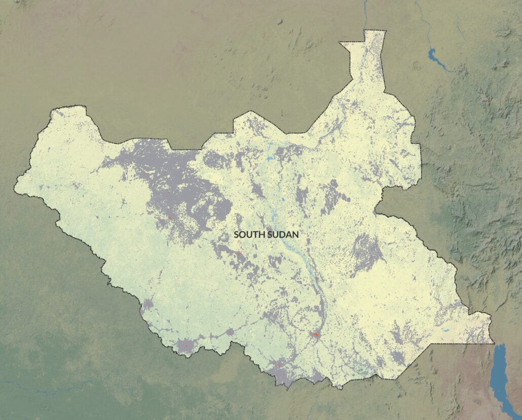
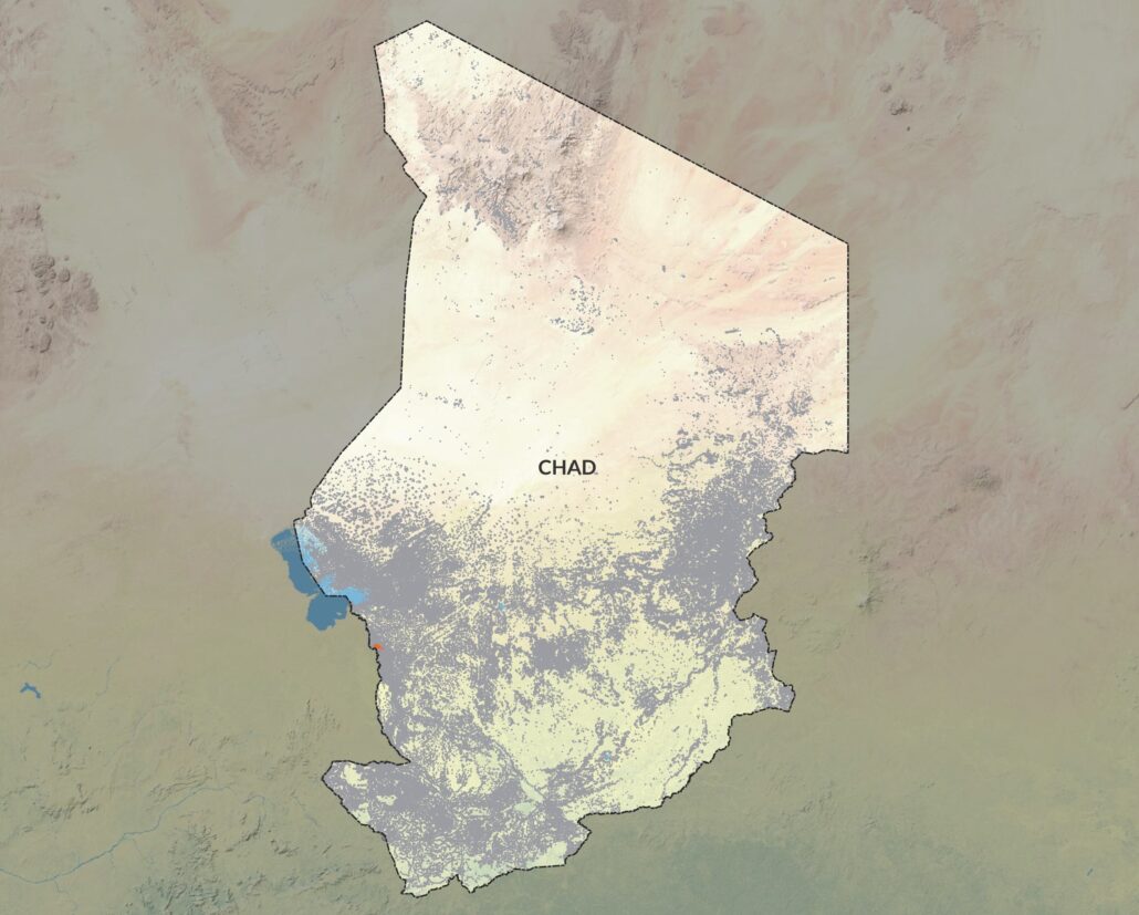
This May, GRID3 published the second version of its settlement extents for sub-Saharan Africa. This collection of data covers 50 countries and comprises more than 15 million settlements. The consistent methodology of the datasets will facilitate analysis of mapped settlements at the country, regional, and subcontinental levels. The settlements data are freely available to users worldwide and can be adapted for humanitarian purposes.
In order to identify a country’s development priorities, it is crucial to understand as much as possible about the places where people work and live. Data collected about settlements can be used to inform a wide range of activities, whether planning a government’s budget, distributing malaria bed nets in a community, or carrying out a rapid disaster response. The more accurate and detailed settlement data are, the more effective such interventions can be.
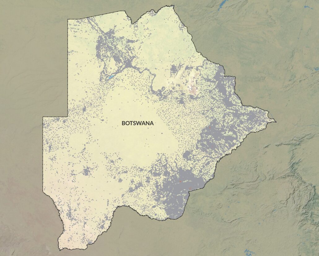
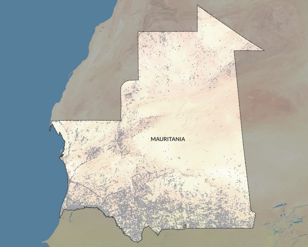
Until recently, widely available settlement data have been available in the following formats: tabular (i.e. lists), vector (i.e. spatial points), or continuous surfaces (i.e. raster data). This meant that detailed digital outlines of settlement boundaries (in the shape of polygons) at the national, regional, or continental or global levels that were consistent across countries were not publically available. Furthermore, the base data underlying the settlement data were derived from population density grids created from census data. In contrast, GRID3’s work makes use of machine learning and data derived from satellite imagery (mostly between 2019-2020) to detect objects within these imagery; these data create more comprehensive digital settlement polygon datasets. As a result, the new data provides a real-world picture of communities that can facilitate more accurate, more effective analyses.
A real-world picture of communities
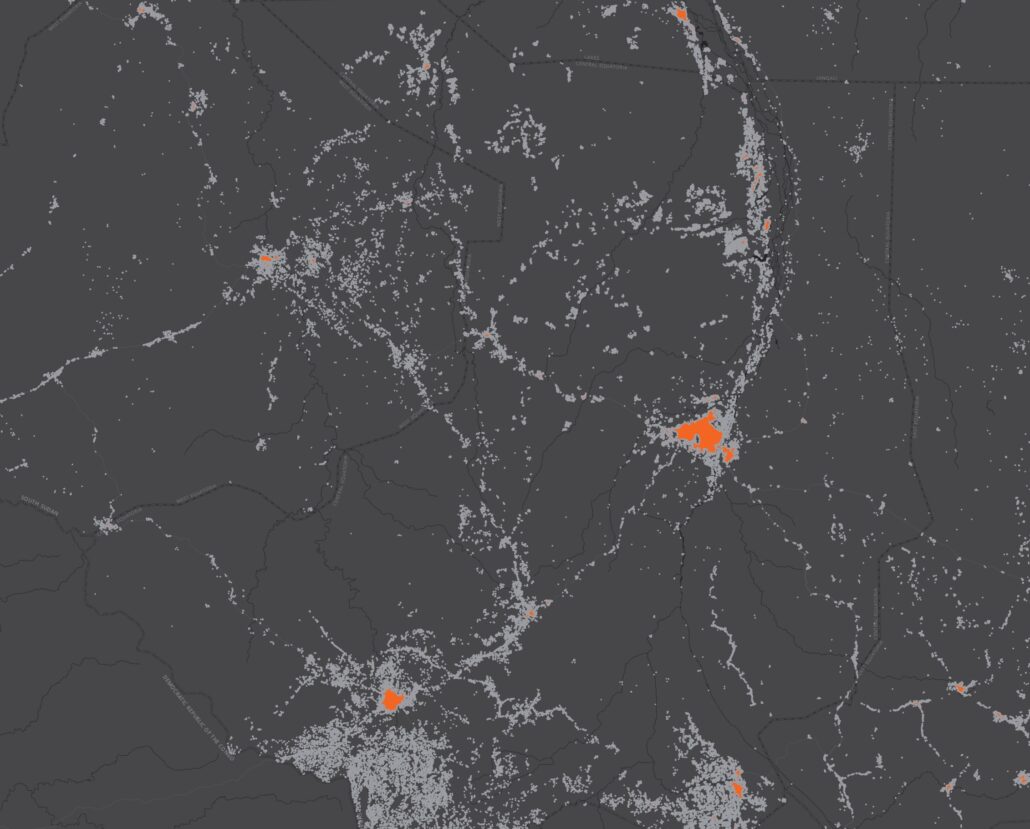
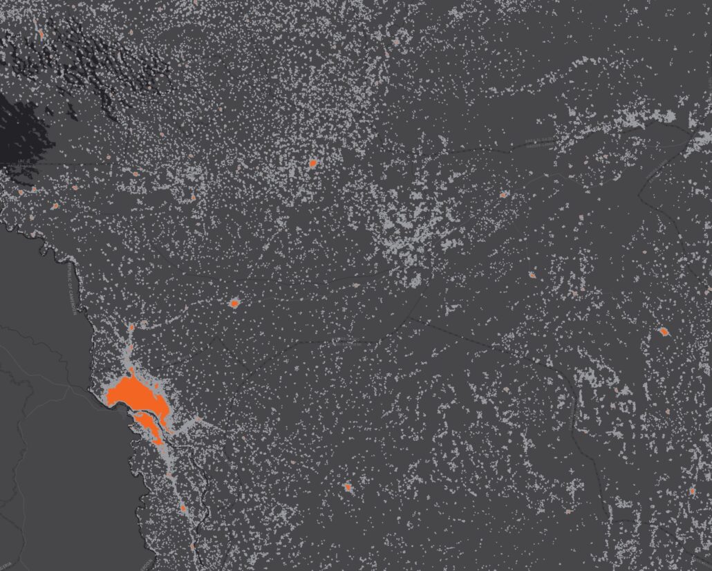
Multiple kinds of input data were used to create the new datasets. These included data on the number and density of buildings and population estimates. The polygons that delineate each settlement extent area are based on places where buildings are found. Each outline can be thought of as the isolines (or contours) found on topographical maps where groupings are created based on similar values. In this case, the underlying value is building density (number of buildings in a set area). Afterward, a cleaning algorithm selects the isoline that encompasses all the buildings that are near to each other, and draws a line between settled and unsettled areas.
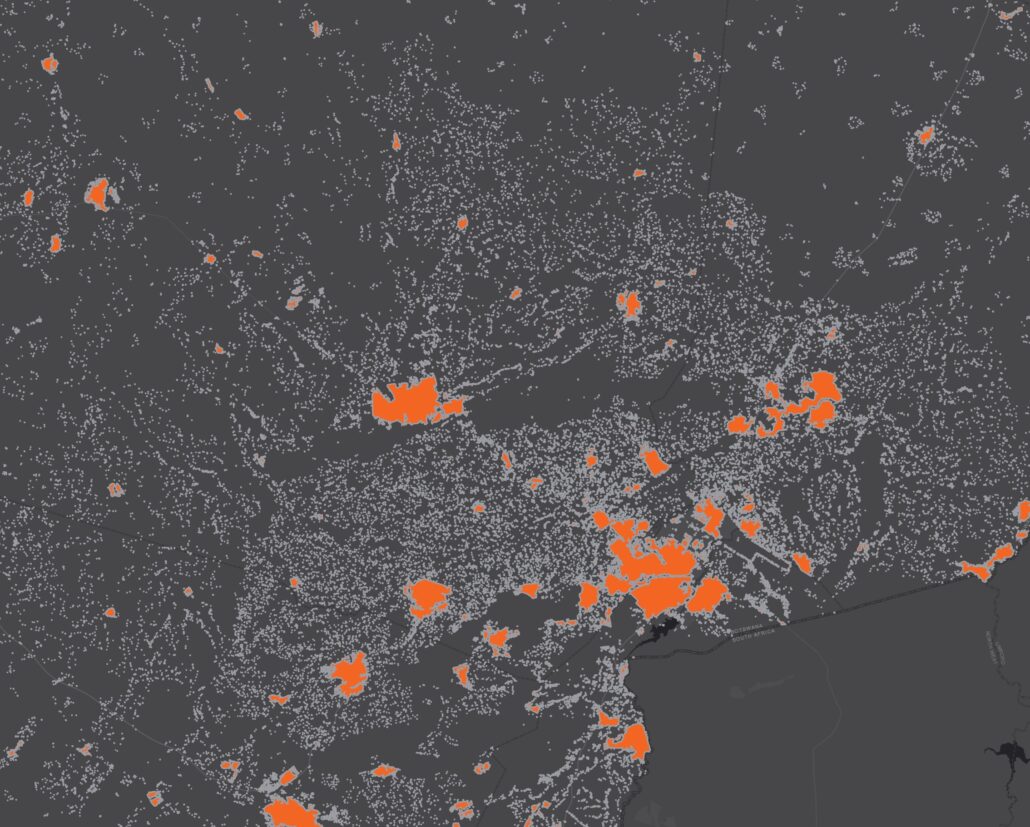
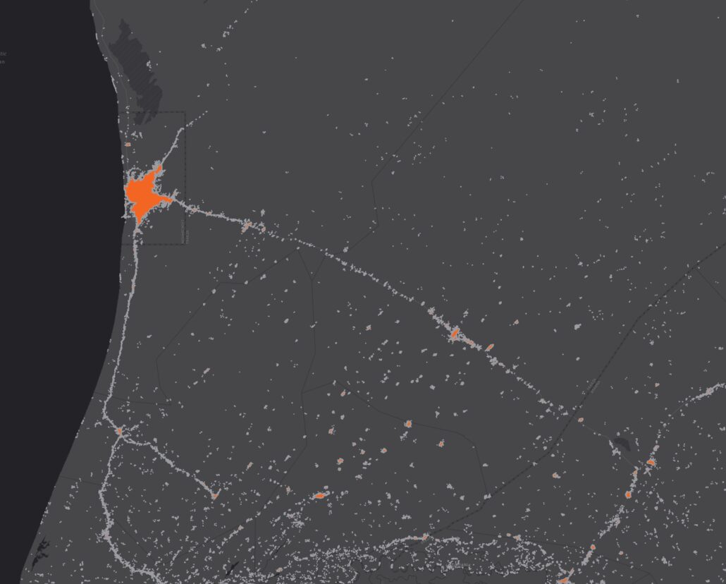
Settlements are then classified by degree of urbanisation and place codes are added. GRID3 followed established methodologies from the European Commission’s Joint Research Center JRC and the United Nations Office for the Coordination of Humanitarian Affairs UN OCHA.
Connecting the dots
GRID3 first released settlement extents datasets covering all of sub-Saharan Africa in 2020. A review of the first version of the settlement datasets found some settlements to be false positives, as verified with satellite imagery. For example, crops or rock formations had been falsely identified by the machine learning algorithm as a settled area. A new model was then created to help identify false positives. The probability of a settlement being a false positive is included in this second version of the datasets.
Users familiar with version 1 of these datasets will be able to compare settlement versions and determine whether settlement extents have remained as-is, have been removed, or have been added. The degree of urbanisation classification has replaced previous classifications (which separated settlements into built-up areas, small settlement areas, and hamlets).
Settlement extents are constantly changing; having accurate settlement data is becoming increasingly important as geospatial data are more commonly used for decision-making. Plans for a third version of the GRID3 settlement extents are currently underway.
