REPORT

Piloting the GMT in Nigeria: Insights from Kano and Kaduna

The Geospatial Microplanning Toolkit (GMT) is a mobile application that allows health staff to record, edit, and visualize key spatial data and features via an interactive user interface. The GMT was developed to address three issues affecting health planning and delivery in Nigeria: 1) ineffective microplanning, 2) the lack of scalable spatial data solutions, and 3) limited data sharing and integration processes.

To assess the GMT’s potential, GRID3 piloted the tool across 91 wards in Kano and Kaduna states as part of the Geo-ST4R project. The main objectives of the pilot were to evaluate the functionality and usability of the GMT and its outputs, assess how well the GMT supports key elements of microplanning for routine immunization, and identify requirements for potential future use of the GMT.


Published October 2024
Full publication

More publications

GRID3 Impact Report 2023-2024

Explore how GRID3’s core spatial data – including population estimates, settlements, health facilities, and administrative boundaries – are making a difference in Nigeria and the Democratic Republic of Congo. This report details our achievements between 2023 and 2024, highlighting our […]

Microplanning: A promising approach to identify and reach zero-dose children in Democratic Republic of Congo (DRC)

This case study examines microplanning approaches as a key component in the Mashako Plan 2.0 to revitalize routine immunization strategies in the Democratic Republic of Congo (DRC).

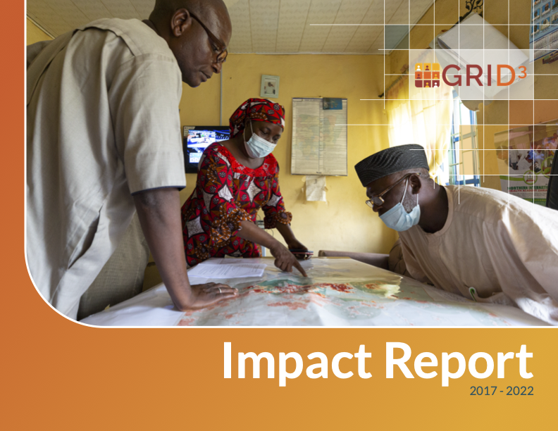
GRID3 Impact Report 2017-2022

This impact report provides an overview of GRID3’s activities and successes during the program’s first phase, between 2017 and 2022. It highlights key milestones, achievements, and selected use cases from the Democratic Republic of the Congo, Nigeria, and Zambia. The […]