REPORT

Core Spatial Data for sub-Saharan Africa: A report on key spatial data available for development practitioners

This report provides an overview of selected core spatial data that are available and accessible in multiple sub-Saharan African countries. The report lists these datasets and their metadata. This report will not recommend a single dataset as being superior to others; such a recommendation is not possible, as the needs of development practitioners differ from case to case. The report will, however, allow users to compare data descriptions and metrics so that they can make an informed decision about which dataset best suits their purposes.

Published September 2021
Full publication

More publications

Piloting the GMT in Nigeria: Insights from Kano and Kaduna

The Geospatial Microplanning Toolkit (GMT) is a mobile application that allows health staff to record, edit, and visualize key spatial data and features via an interactive user interface. The GMT was developed to address three issues affecting health planning and […]

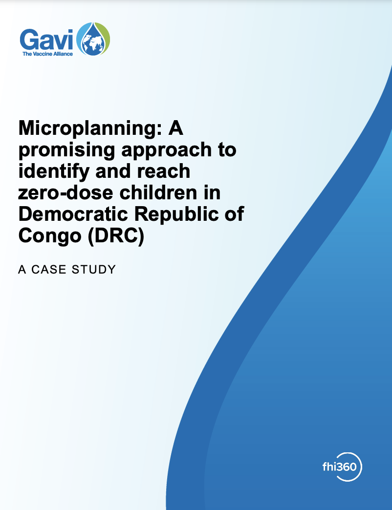
Microplanning: A promising approach to identify and reach zero-dose children in Democratic Republic of Congo (DRC)

This case study examines microplanning approaches as a key component in the Mashako Plan 2.0 to revitalize routine immunization strategies in the Democratic Republic of Congo (DRC).

GRID3 Impact Report 2017-2022

This impact report provides an overview of GRID3’s activities and successes during the program’s first phase, between 2017 and 2022. It highlights key milestones, achievements, and selected use cases from the Democratic Republic of the Congo, Nigeria, and Zambia. The […]