Episode 17: Mapping Out a Vaccination Strategy in Nigeria

COVID-19 vaccination campaigns in many parts of the world have highlighted the urgent need for accurate spatial data, which has led governments and international development institutions to seek out reliable sources of such information to inform their COVID-19 interventions. A recent New York Times article spotlights the GRID3 program, which works with countries to generate, validate, and use geospatial data on population, settlements, infrastructure, and boundaries. Program partners include Columbia’s University’s Center for International Earth Science Information Network (CIESIN), the United Nations Population Fund, WorldPop at the University of Southampton, and the Flowminder Foundation.
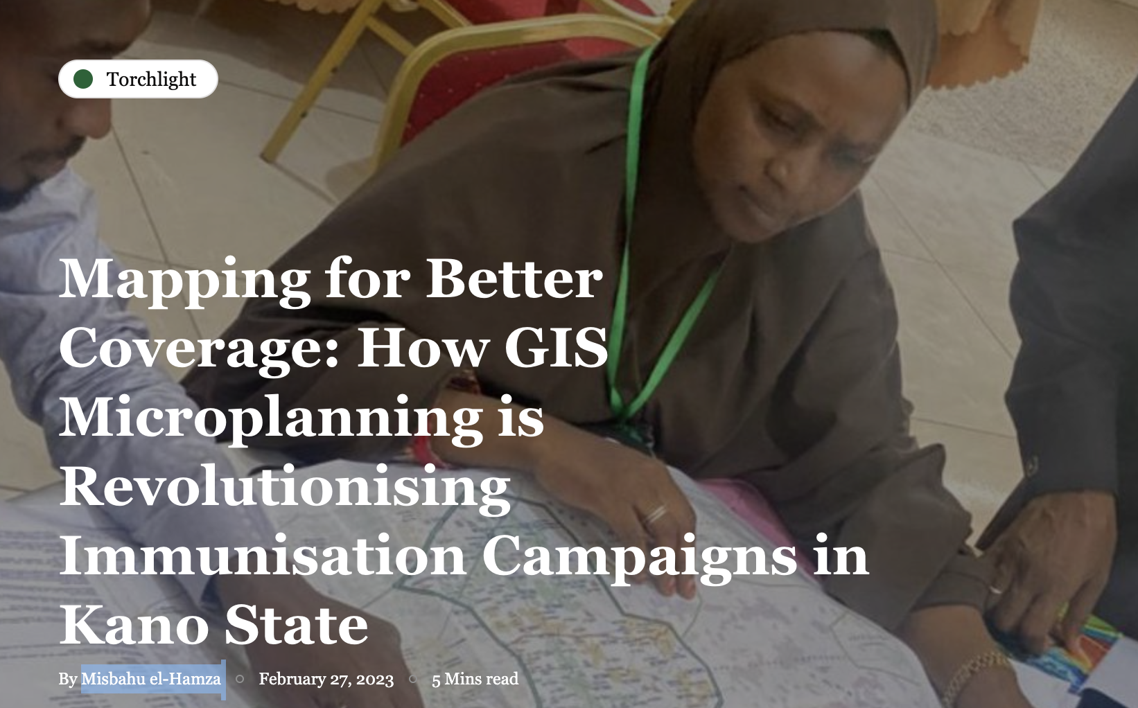
Our podcast this week features a conversation between GRID3 communications officer Chisimdi Onwuteaka, and Nazir Halliru, who is now the country manager for GRID3 Nigeria. Halliru describes how GRID3 is producing and distributing paper-based maps — featuring data on vaccination sites, population, comorbidities risk, and settlement names — to support Nigeria’s COVID-19 vaccination planning and other development interventions.


