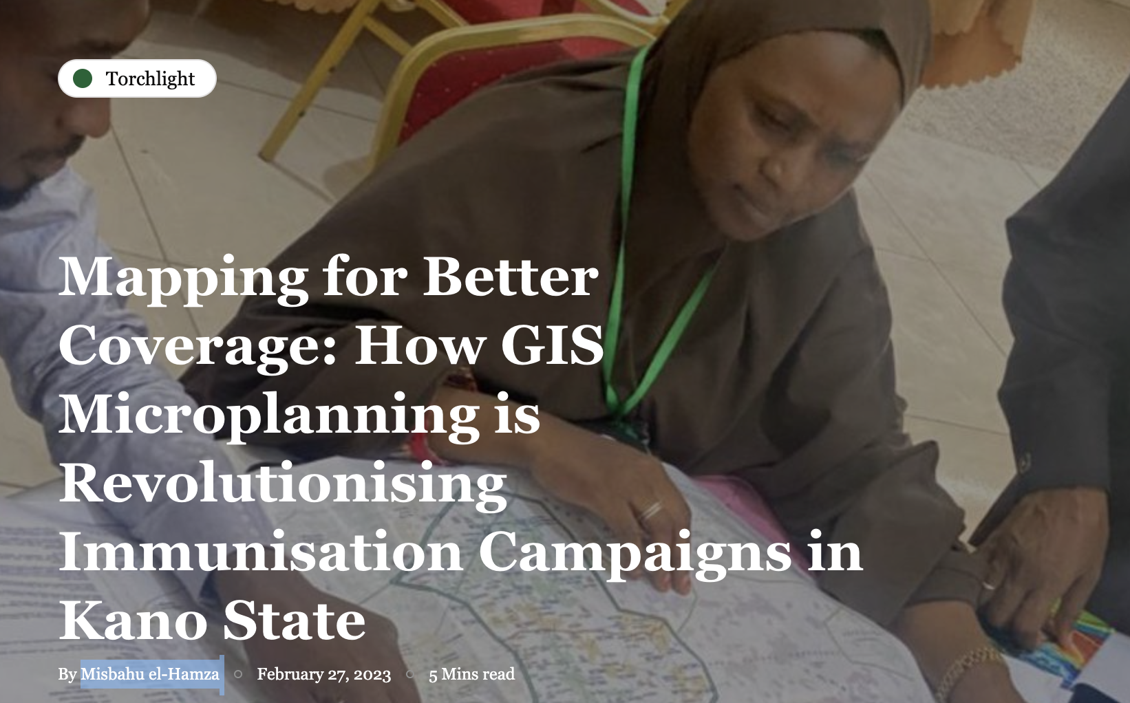
WHO
Geospatial data as a key innovation to boost immunisation coverage in the DRC
April 6, 2022
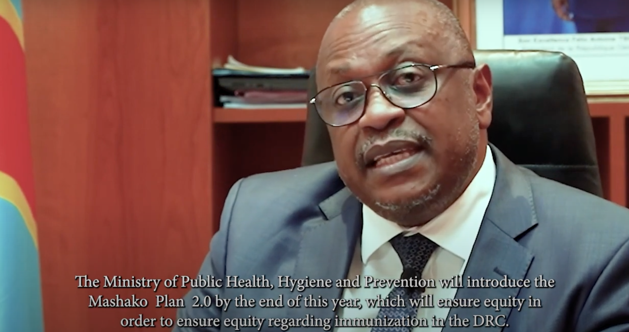
This video highlights plans in the Democratic Republic of the Congo to increase immunisation through the use of geospatial data. Dr. Jean Jacques Mbungani Mbanda, Minister of Public Health, Hygiene and Prevention in the Democratic Republic of the Congo discusses key innovations of the Mashako 2.0 plan while Dr. Elisabeth Mukamba Musenga, EPI Director, describes how spatial maps and dashboards developed by GRID3 have changed the way they conduct vaccinations.
*Reposted from WHO
| Source | WHO |
|---|