REPORT

Core Spatial Data for sub-Saharan Africa: A report on key spatial data available for development practitioners

This report provides an overview of selected core spatial data that are available and accessible in multiple sub-Saharan African countries. The report lists these datasets and their metadata. This report will not recommend a single dataset as being superior to others; such a recommendation is not possible, as the needs of development practitioners differ from case to case. The report will, however, allow users to compare data descriptions and metrics so that they can make an informed decision about which dataset best suits their purposes.

Published September 2021
Full publication

More publications

Reaching Never- and Incompletely-Vaccinated Children with Routine Immunization: A Proof-of-Concept Activity Using Geo-Referenced Microplans in Two Health Zones in Maniema Province, Democratic Republic of the Congo

GRID3’s geospatial mapping work in Kindu and Kibombo, Maniema Province, DRC, was central to a collaborative proof-of-concept with the DRC’s EPI Programme, CDC, and AFENET: participatory mapping and house-to-house enumeration located under-vaccinated children by locality, and GRID3’s maps then guided […]

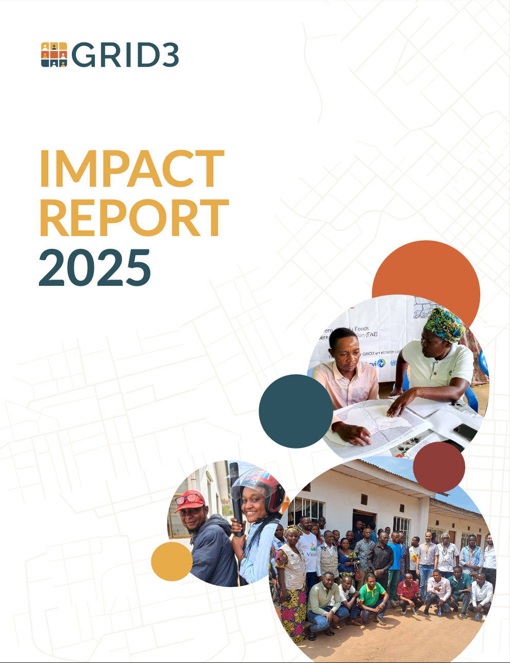
GRID3 Impact Report 2025

In Equateur Province, the Democratic Republic of the Congo (DRC), health workers had been told that communities along the Lokoro River were uninhabited — too prone to flooding, too hard to reach. GRID3 settlement data said otherwise, and in 2025, […]

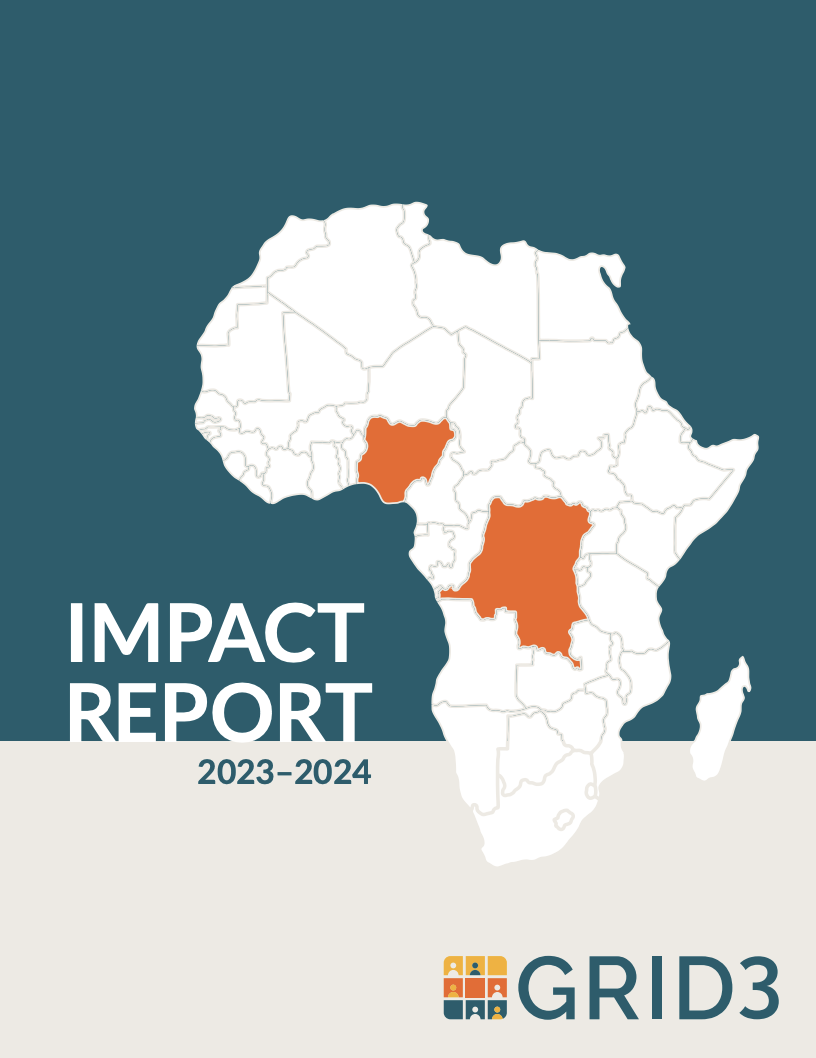
GRID3 Impact Report 2023-2024

Explore how GRID3’s core spatial data – including population estimates, settlements, health facilities, and administrative boundaries – are making a difference in Nigeria and the Democratic Republic of Congo. This report details our achievements between 2023 and 2024, highlighting our […]